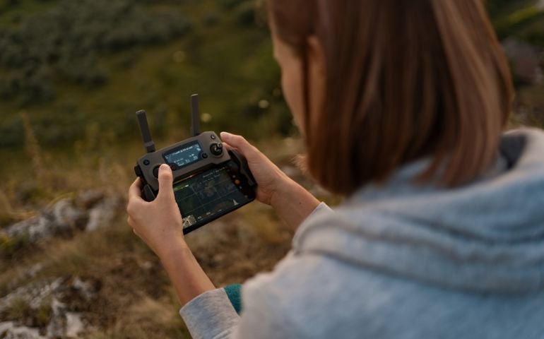
The Remote Sensing Image Processing Level 3 Advanced Diploma provides an in-depth education in remote sensing technologies and image processing. It covers foundational and advanced techniques, data sources, and practical applications, preparing students for careers in various fields where remote sensing is utilised. The course also includes project management skills and insights into industry trends, making it ideal for aspiring remote sensing professionals and related specialists.
What Will You Learn?
- Key concepts and principles of remote sensing
- Fundamental techniques in image processing
- Knowledge of remote sensing data sources
- Skills in image classification and analysis
- Advanced remote sensing techniques
- Practical applications of remote sensing
- Project management for remote sensing initiatives
- Insights into emerging trends and future directions in remote sensing
Who Should Take The Course?
- Aspiring remote sensing professionals
- Environmental scientists and researchers
- GIS specialists and analysts
- Professionals in agriculture, forestry, and urban planning
- Students and graduates in geography, environmental science, or related fields
Requirements:
- Basic understanding of GIS and remote sensing concepts
- Familiarity with digital image processing
- Interest in environmental and spatial data analysis
- Access to a computer with relevant software
Course Curriculum
-
- Basics of Image Acquisition 00:10:00
- History and Evolution 00:10:00
- Overview of photogrammetry and remote sensing 00:10:00
- Types of Remote Sensing Platforms 00:10:00
-
- Image Enhancement Techniques 00:10:00
- Image Restoration Methods 00:10:00
- Image Transformation and Registration 00:10:00
- Introduction to Image Processing 00:10:00
- Aerial Photography 00:10:00
- Hyperspectral and LiDAR Data 00:10:00
- Satellite Remote Sensing 00:10:00
- Unmanned Aerial Vehicles (UAVs) 00:10:00
- Advanced Applications in Environmental Monitoring and 00:10:00
- Integration of Remote Sensing with Geographic Information Systems (GIS) 00:10:00
- Machine Learning in Remote Sensing 00:10:00
- Object-Based Image Analysis (OBIA) 00:10:00
- Data Acquisition and Preprocessing 00:10:00
- Image Processing Workflow 00:10:00
- Project Planning and Proposal Writing 00:10:00
- Report Writing and Presentation Skills 00:10:00
- Exam of Remote Sensing Image Processing Level 3 Advanced Diploma 00:50:00
New Courses
Blogs
Jul'23
ADHD Training for Teachers: Empowering Educators to Support Students with Attention Challenges
Relationships may be severely harmed by narcissistic behaviours, leaving emotional scars and...
Jul'23
Narcissistic Behaviour and Relationships: Understanding the Impact and Finding Healing
Relationships may be severely harmed by narcissistic behaviours, leaving emotional...
Jul'23
Childhood Trauma in Adults
What Is Childhood Trauma? Childhood trauma refers to distressing or...
Jul'23
Creating A Social Media Strategy
Set Clear Objectives:The first step in developing a successful social media...
Jul'23
Neuro-Linguistic Programming Techniques
Neuro-Linguistic Programming (NLP) is a fascinating and widely acclaimed approach...
Jul'23
Acceptance and Commitment Therapy in the UK
What is acceptance and commitment therapy? Acceptance and Commitment Therapy...


