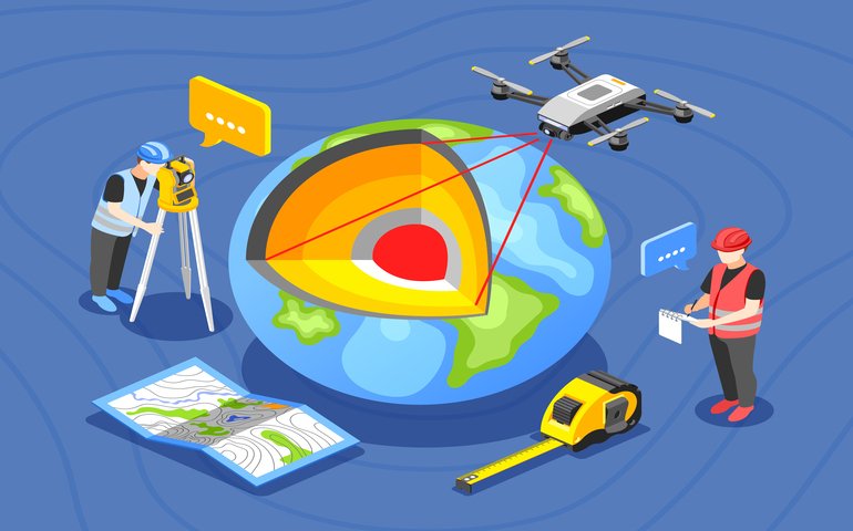
This course on GIS Remote Sensing in ArcGIS teaches you the basics of remote sensing and satellite images. You will learn how to analyze raster data and perform site suitability analysis using weighted overlay analysis. You will also gain an understanding of geoprocessing raster tools, watershed delineation, and unsupervised classification using ArcGIS. This course is designed for aspiring GIS professionals who want to enhance their skills.
Overview
Welcome to the GIS Remote Sensing in ArcGIS course! This course is designed to provide you with a comprehensive understanding of remote sensing and its application in ArcGIS. In the first lecture, you will be introduced to remote sensing and satellite images, and learn about spectral bands. You will also explore layers stacking of satellite images and georeferencing of satellite images in the subsequent lectures. In lecture four, you will be introduced to geoprocessing raster tools, followed by raster analysis functions in lecture five. You will also learn about georeferencing toposheets in lecture six, and site suitability using weighted overlay analysis in lectures seven and eight. You will gain an understanding of the process of watershed delineation from DEM in lecture nine and unsupervised classification in lecture ten. By the end of this course, you will have gained a comprehensive understanding of remote sensing and its application in ArcGIS. You will learn how to effectively use geoprocessing raster tools, analyze raster data, and perform site suitability analysis using weighted overlay analysis. You will also be able to delineate watersheds and perform unsupervised classification using ArcGIS. This course is designed to equip you with the knowledge and skills required to become a successful GIS professional.What Will You Learn?
- Gain an understanding of remote sensing and satellite images.
- Learn how to stack layers of satellite images and georeference them.
- Explore geoprocessing raster tools and raster analysis functions.
- Learn how to georeference toposheets.
- Understand the process of site suitability using weighted overlay analysis.
- Learn how to delineate watersheds from digital elevation models (DEM).
- Explore unsupervised classification techniques.
Who Should Take The Course
This course is designed for professionals and students who want to learn GIS remote sensing using ArcGIS. It is suitable for geographers, environmentalists, urban planners, engineers, and researchers who are interested in using satellite imagery and remote sensing techniques for geospatial analysis.Requirements
- Basic knowledge of GIS software and terminology
- Understanding of basic remote sensing concepts and satellite imagery interpretation
- Familiarity with computer operating systems and software usage
- Access to ArcGIS software or trial version
Course Curriculum
-
- Remote sensing, satellite images, spectral band’s introduction 00:35:00
-
- Layers stacking satellite images 00:30:00
- Georeferencing satellite images 00:25:00
- Raster Analysis Functions 00:35:00
- Site suitability using weighted overlay analysis – part 1 00:35:00
- Watershed Delineation from DEM 00:40:00
- Order Certificate 00:05:00
New Courses
Blogs
Jul'23
ADHD Training for Teachers: Empowering Educators to Support Students with Attention Challenges
Relationships may be severely harmed by narcissistic behaviours, leaving emotional scars and...
Jul'23
Narcissistic Behaviour and Relationships: Understanding the Impact and Finding Healing
Relationships may be severely harmed by narcissistic behaviours, leaving emotional...
Jul'23
Childhood Trauma in Adults
What Is Childhood Trauma? Childhood trauma refers to distressing or...
Jul'23
Creating A Social Media Strategy
Set Clear Objectives:The first step in developing a successful social media...
Jul'23
Neuro-Linguistic Programming Techniques
Neuro-Linguistic Programming (NLP) is a fascinating and widely acclaimed approach...
Jul'23
Acceptance and Commitment Therapy in the UK
What is acceptance and commitment therapy? Acceptance and Commitment Therapy...


